End-To-End IT & Infrastructure Consulting, Geographical Information Systems, Civil Survey & Plan Layout Etc
Sreemudranalaya Technology Pvt. Ltd.
End-To-End IT & Infrastructure Consulting, Geographical Information Systems, Civil Survey & Plan Layout Etc.
HELP DESK
033 66160292/93
Email
info@smtplindia.com
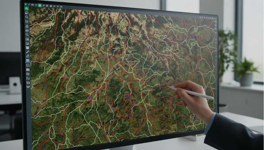
Topographic Mapping & Digitization
Home > Services > Topographic Mapping & Digitization
About Topographic Mapping & Digitization
We provide high-quality satellite image digitization and topographic mapping services for infrastructure planning, environmental studies, and land development projects. Our experts extract accurate spatial data from satellite imagery and convert it into structured GIS layers.
Using advanced GIS tools and remote sensing techniques, we ensure precise feature extraction, contour mapping, terrain analysis, and digital map preparation tailored to project requirements.