End-To-End IT & Infrastructure Consulting, Geographical Information Systems, Civil Survey & Plan Layout Etc
Sreemudranalaya Technology Pvt. Ltd.
End-To-End IT & Infrastructure Consulting, Geographical Information Systems, Civil Survey & Plan Layout Etc.
HELP DESK
033 66160292/93
Email
info@smtplindia.com
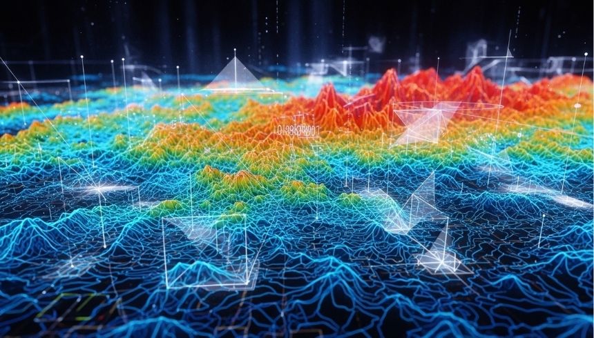
DEM Preparation
Home > Services > DEM Preparation
About DEM Preparation
We provide Digital Elevation Model (DEM) preparation services to support terrain analysis, hydrological modeling, infrastructure design, and environmental assessment projects. Our team processes satellite imagery, contour data, and survey inputs to generate accurate elevation models.
Using advanced GIS and remote sensing tools, we develop high-resolution DEMs suitable for slope analysis, watershed mapping, flood modeling, and 3D terrain visualization.