End-To-End IT & Infrastructure Consulting, Geographical Information Systems, Civil Survey & Plan Layout Etc
Sreemudranalaya Technology Pvt. Ltd.
End-To-End IT & Infrastructure Consulting, Geographical Information Systems, Civil Survey & Plan Layout Etc.
HELP DESK
033 66160292/93
Email
info@smtplindia.com
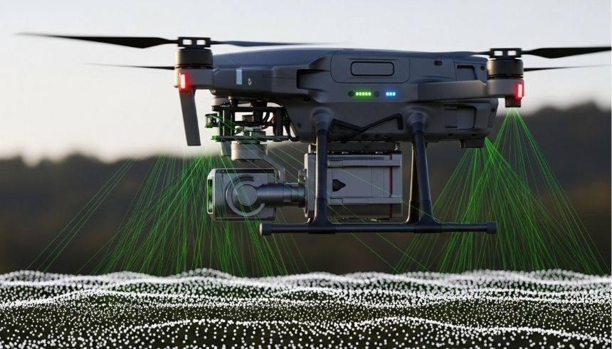
LIDAR Classification
Home > Services > LIDAR Classification
About LIDAR Classification
Our LIDAR Classification services process and categorize raw point cloud data into meaningful surface and object classes such as ground, vegetation, buildings, and infrastructure. This ensures high-quality terrain modeling and accurate spatial analysis.
Using advanced classification algorithms and GIS tools, we deliver refined datasets suitable for urban planning, flood modeling, forestry management, corridor mapping, and engineering applications.