End-To-End IT & Infrastructure Consulting, Geographical Information Systems, Civil Survey & Plan Layout Etc
Sreemudranalaya Technology Pvt. Ltd.
End-To-End IT & Infrastructure Consulting, Geographical Information Systems, Civil Survey & Plan Layout Etc.
HELP DESK
033 66160292/93
Email
info@smtplindia.com
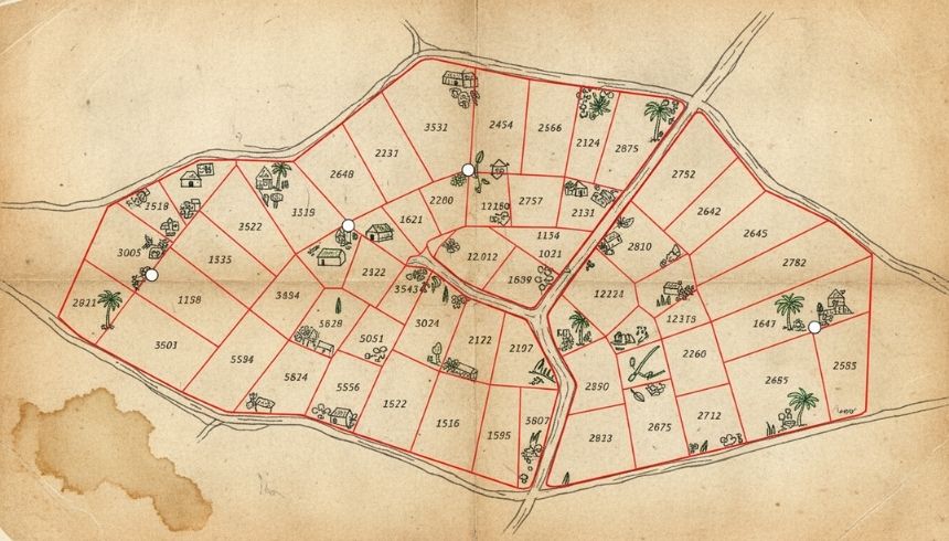
Cadastral Mapping
Home > Services > Cadastral Mapping
About Cadastral Mapping
Our Cadastral Mapping services provide accurate land survey, plot demarcation, and ownership verification. We combine modern GIS tools with field surveys to deliver precise mapping that supports urban planning, property records, and legal documentation.
Each project is tailored to client needs, emphasizing accuracy, efficiency, and regulatory compliance. Our team integrates GIS, satellite imagery, and ground surveys to ensure reliable outputs.